Posted on: October 15, 2019 | Roads and Highways, Water Levels
There have been no significant changes since the last report in water levels within Whitesehll Provincial Park they continue to rise and will into the coming days. Currently there is flooding on Provincial Highway #312, reduced speed and flood warning signs have been posted at the site. Manitoba Infrastructure and Sustainable Development will continue to monitor the situation closely and regular updates will be sent out if changes occur .
Caution is advised as the high water levels may impact infrastructure located within the flood waters. Sustainable Development has set up 7 public accessible areas where empty sandbags and sand are located. These locations include:
- South Whiteshell – Caddy Lake Boat Launch area, Green Bay Road behind the garbage cage, West Hawk Lake Maintenance Yard & Falcon Lake Maintenance Yard
- North Whiteshell – Brereton Lake area – across from Brereton Lake Resort , Nutimik Lake – Block 1 boat launch & Dorothy Lake Trout Pond
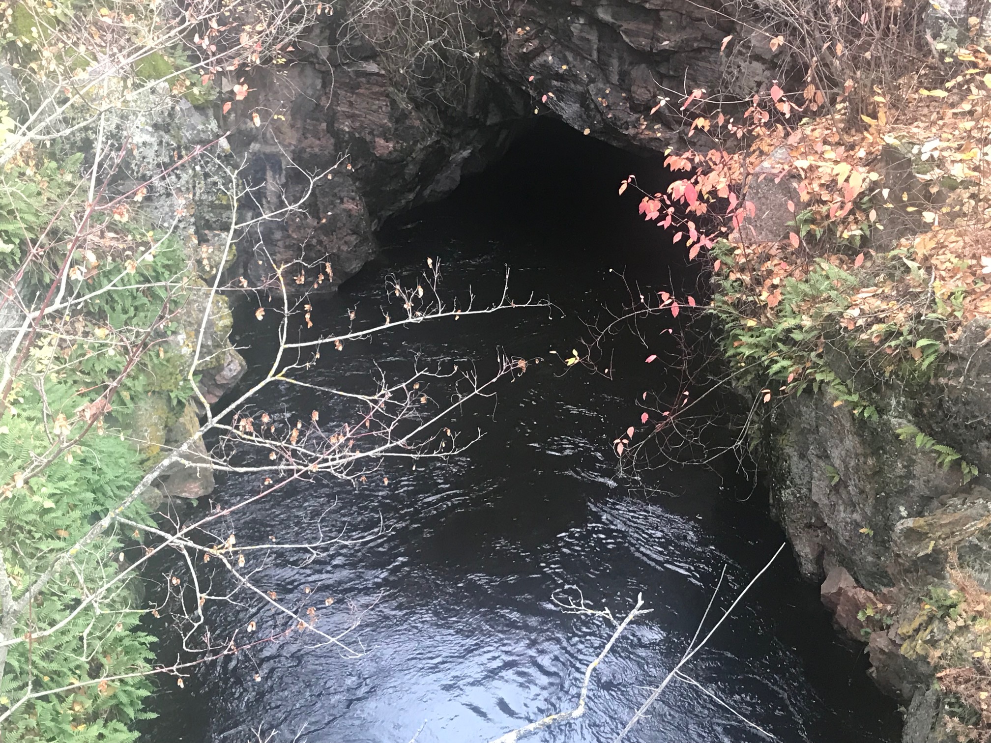
The following trails are closed as of October 15, 2019: Bear Lake Hiking Trail, Mantario Trail ( South Trailhead to Caribou Lake) , Whiteshell River Hiking Trail, and the McGillivray Falls Hiking Trail remains closed. Caddy Lake Tunnels are closed and the Mantario Water route – (south end) with no travel from Caddy Lake to Sailing Lake (which includes South Cross and North Cross tunnels).